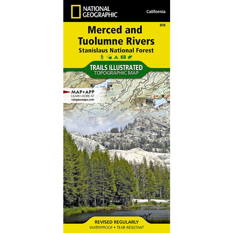
National Geographic's Trails Illustrated map of Merced and Tuolumne Rivers is an essential travel companion for outdoor enthusiasts exploring this area just west of Yosemite National Park. Novice and experienced explorers alike will benefit from this expertly researched map, created in partnership with the U.S. Forest Service, National Park Service and others. In addition to Merced and Tuolumne Wild and Scenic Rivers, coverage includes many popular recreation areas in and around Stanislaus National Forest, including Calaveras Big Trees State Park, Tuolumne State Game Refuge, Interface Recreation Area, Stanislaus River's north, m
Express delivery and return policies
Free shipping on orders over $30
Processing time: 1-2 Days
Shipping time: 3-5 Days(According to the logistics method and delivery address)
Items can be returned or exchanged within 30 days !
![Knight of Sorrows [Ravnica Allegiance]](https://img.clcarvirect.shop/77/4337/2025051613/knight-of-sorrows-ravnica-allegiance.webp)


![Circle of Protection: Red [sr15sb] [Shawn Regnier] [Pro Tour Collector Set] [Non-Foil]](https://img.clcarvirect.shop/67/4167/2025051222/circle-of-protection-red-sr15sb-shawn-regnier-pro-tour-collector-set-non-foil.webp)